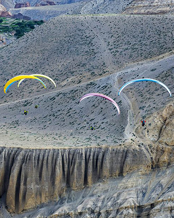
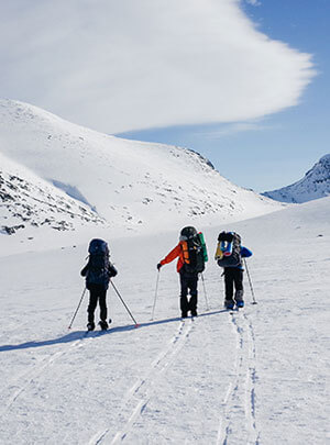
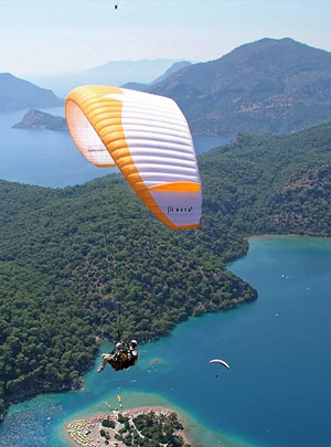
We are a group of like-minded professional trekkers and mountaineers from Nepal who are passionate about trekking, environment, and our country and who make their living by helping people explore the mountains, forests, rivers, landscapes, culture, and the people of this country through various services and activities such as trekking, hiking, biking, photography, rafting, paragliding, mountaineering, meditation, yoga, pilgrimage, volunteering, etc.
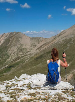
Modern civilisation and technology-driven culture have not only depleted our natural resources and endangered our very existence on this planet, they have also deracinated us from our roots, our past, our primal identity and our natural environment. No wonder most of us feel distant, disconnected, isolated, and disenchanted with everything around us. We at First Environmental Trekking strive to help you get back to nature, reconnect yourself with everything around you, be in an intimate relationship and in harmony with all things, and become enchanted and mesmerised with the world once again.
We have been doing it for over 28 years and we hope to continue doing it for as long as it is possible. In addition to providing you with top-class team and equipment, we help you arrange your tickets, hotels, guides, porters, itineraries, permits, and just about anything related to travel and tourism in this country. In all these years, we’ve hardly had a customer who has been unhappy with our service. We assure you that you too will leave this place with a big smile on your face.